73 km, 6h 10 min, max temp 43
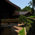
Our plan for the day was to leave most of our baggage at the Yeeson hotel, and do a loop ride up to Doi Tung – the “Flag Mountain” with its famous twin chedis. Apparently one of Buddha’s collarbones is interred in one of the chedis, so it is a significant place of pilgrimage. Along the way is the Royal Villa of the “Princess Mother”, the current king’s mother, who died in 1993. It is partly a museum, and his sister still lives in another portion.
On our way out of town, we saw a sign for the “Afterglow Hostel” with a price of 585 Baht. We aren’t sure if that was for the night or the hour, but with a name like Afterglow we don’t think it is your standard backpacker place!
The climb up to the palace was nice, with a few steep climbs separated by less steep sections on a nice smooth road, and much easier without the weight of our bags. When we reached the Villa, it turned out to be quite a tourist attraction, with lots of small tour buses and visitors. As usual, our bikes turned us into quite the tourist attraction ourselves, and we answered many questions and posed for a bunch of photos.
In addition to the Royal Villa, this is the site of the Mae Fa Luang Gardens, and Doi Tung handicrafts – all part of an effort by the Princess Mother to provide alternatives to opium production for the local hill tribes. From what we can tell it is working, with lots of handicrafts available, as well as various cash crops, including coffee. Becky was sorely tempted to buy some beans, but decided she would refrain, and skip the extra weight for our afternoon of climbing.
The climb after the palace was steep in places, especially one shortcut to Doi Tung. The road was in great condition, but the constant 20% grade was a bit much. We aborted the attempt of the short cut after a few hundred meters because it was just too steep – Becky did not want to push her bike up 3.3 km of steepness after all the climbing we had already done today! (600m elevation gain in 3.3 km is almost 20% on average – steeper in places).
Sadly, when we reached the turnoff to Doi Tung, it turned out to be a large downhill – not something we were prepared to contemplate at 4 pm, since we would need to climb back up again to get home. Instead we decided to continue along the road and finish our loop.
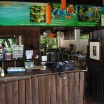
Note that after the Villa there are very few services along the road. We had planned to fill up with water at Doi Tung, but when we deviated so as not to go there, Becky was getting pretty low. We were lucky that when we reached the top there was a kiosk selling wine that also had bottled water and fanta. We recommend that you fill up at the Villa before venturing further afield
The road back skirted the Burma border, and we needed to clear a checkpoint before we could get on it. This was the first checkpoint in Thailand where we actually showed our passports, but we passed through without questions. Just past the checkpoint was a Burmese border station. The bamboo buildings and fences were quite the change from the concrete on the Thai side. Becky stopped to adjust her bandanna, and Scott lost sight of her for what seemed a long time, especially hearing the barking of some dogs behind. He was getting quite concerned by the time she showed up, with a pack of Burmese guard dogs right on her heels. Fortunately it was a nice bit of downhill and we outdistanced them quickly.
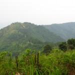
Scott had showed Becky Bill Weir’s comments about the road along the border, including “The ridge-top road dived and climbed–I alternately squeezed my brakes for dear life, or winched up in bottom gear. Downhills outnumbered climbs and I was soon back in Mae Sai.” Unfortunately, Becky missed the first sentence, and was expecting a nice downhill back to Mai Sai. We can report that the road is still really steep and the in poor condition, so we rarely were able to go over 30 km/hr. We would not recommend this decent for anyone without disc brakes – as it was our brakes were hot and smelly! Going down the way we came up would have been a much more pleasant ride, but much longer too. We understand why the Lonely Planet says that only experienced motorcyclists should attempt to ride that road – the curves were pretty crazy even on the bicycles.
We were surprised by the number of people walking on the road, but there are several small encampments along the way.
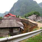
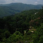
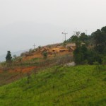
The returning road did not just have steep downhills, it also had some steep uphills to ensure you did not get cold and your brakes had a chance to cool off. This was OK the first few times, but 10 km before the end of the road when it turned up again, Becky gave up and made Scott turn around. We headed back to the village of Pha Mi, and took the village road out of the hills to highway one. This is a hill tribe village, but not a “tourist village” and we didn’t see anyone in traditional dress.
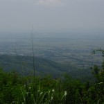
As we approached the valley, we hit a wall of smoke from the burning fields. It pointed out just how smoky the air was down at the lower elevations. It was nice to be out of the pollution while we were climbing in the hills.
Leave a Reply